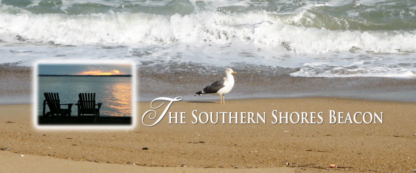
A community survey that Stewart Inc., the Town’s land use plan update consultant, will use to help define the goals and vision of Southern Shores’ future, is in draft form and expected to be posted online soon, Deputy Town Manager/Planning Director Wes Haskett announced at last night’s Town Council meeting.
The survey will remain online for a month, Mr. Haskett said.
Surprised by the speed with which this survey was prepared, we checked the project timeline on the Town website today and learned that the survey is to be posted Friday, and all responses are to be submitted by Jan. 8. This is a revision of what was posted on the page in November—as well as just yesterday.
See the Land Use Plan Update page at https://www.southernshores-nc.gov/planning/page/2022-land-use-plan-update-project.
It appears from the timeline that Stewart, whose five-person update team is headed by planning manager Jay McLeod, will have the survey results analyzed, community goals drafted, and a proposed town vision statement written by Jan. 18.
The N.C. Coastal Area Management Act (CAMA) requires each of North Carolina’s 20 coastal counties to have a land use plan that accords with guidelines established by the N.C. Coastal Resources Commission. Each plan includes local policies about growth, such as the protection of natural resources and the desired types of economic development, as well as pertinent maps.
Although CAMA does not require coastal towns to have land use plans, 72 such towns and cities had them as of 1997, according to the N.C. Dept. of Environmental Quality. They are used in the determination of CAMA permit decisions and in regulating growth. Southern Shores has had a Land Use Plan since 1980. The 2023 update will be its fifth update.
The N.C. General Assembly gave the Town Council additional incentive to update the Town’s 2008 Land Use Plan, which it had talked about doing since 2017, when it enacted a new law requiring all local governments to have a “reasonably maintained” comprehensive plan or a land use plan in order to retain authority to adopt and enforce zoning regulations. No longer could the Council kick the can down the road.
(For background on land use plans and the Town’s update, see The Beacon, 11/12/22.)
***
The Beacon believes it is unfortunate that Stewart and the Town have decided to draft the community survey without giving residents more time to contribute to its content, as well as to post the survey during the holiday period, when people are extremely busy and often out of town or visiting in town with relatives and friends.
It was just three weeks ago that Mr. McLeod, assisted by Stewart planner Andrea Radford, held a public open house to explain what a land use plan is and the process by which the 2008 Southern Shores Land Use Plan would be updated. The open house, promoted as a “kickoff meeting” for the Land Use Plan Update project, offered attendees an opportunity to share their thoughts and perspectives with Mr. McLeod or Ms. Radford in informal chats or by comment cards that posed the following questions:
*What do you love about Southern Shores and never want to change or lose?
*What needs work or the Town government should focus on improving?
*What is your biggest concern about the future of Southern Shores?
Only 22 people signed the attendance sheet for the open house, of whom four were members of the Town Council, who gave their views on land-use issues in a roundtable discussion that morning with Mr. McLeod that also included Town Planning Board members. The Planning Board is serving as the steering committee for the update project.
(You may view a You Tube video of the Town Council-Planning Board discussion at https://www.youtube.com/watch?v=1HDT6XcFa8.)
There are only 10 resident comment cards posted on the Land Use Plan Update page.
Among the issues and priorities identified by the Town Council and Planning Board in their roundtable were protection of the maritime forest; improvement of water quality, especially in the Currituck Sound; preservation of low-density residential neighborhoods and a small commercial district; prevention of stormwater runoff; and improvement of the navigability of the canals.
In light of the problems associated with beach nourishment this year, the public may wish to reconsider maintenance of the project, which, according to Ken Willson of Coastal Protection Engineering, means doing another sand fill in five years.
Is the desirability of beach nourishment going to be on the community survey, which Mr. McLeod said on Nov. 15 will be primarily multiple-choice?
Will the survey address cut-through traffic in town, which is surely a land-use issue? The Town Council and Planning Board did not bring it up.
The Land Use Plan, whose format and content are defined by the Coastal Resource Commission’s rules, is to be used by the Town and its elected officials as a guide to decisions about land development and rezoning; growth and development priorities; public services and infrastructure to support development; the protection of environmental and other natural resources, and other planning topics.
We trust the community survey will be thorough and wide-ranging and reflective of a variety of perspectives. We will direct you to its location on the Town website when it is online.
Ann G. Sjoerdsma, 12/7/22
