A surprising announcement by Mayor Tom Bennett at Tuesday’s Town Council meeting that he was reconsidering the “scope” of the town’s estimated $14 to $16 million 2022 beach nourishment project and the means for funding it led to a half-hour discussion about the actual need for sand fill along the entire 3.7-mile-long Southern Shores shoreline.
Although the Town Council unanimously voted last June to “proceed” with beach nourishment, it never defined how and to what extent it would proceed. The assumption has been that the project would be townwide, but no formal vote was ever taken.
“If we reduce the scope of the project to those things that are really critical now,” the Mayor said, “we could probably pay for it in a different way” than by levying higher taxes on property owners in specially established municipal service districts (MSDs).
“We could probably pay for it with an even tax for the whole town of so many cents,” he said, except perhaps for the Pelican Watch homeowners whose properties are in the hot-spot southern section of the shoreline.
The Mayor’s supposition clearly caught his Council colleagues and Town Manager Cliff Ogburn off-guard. He prefaced it by explaining that he had been “trying to agonize over how we’ll handle this project” for “a couple of months.”
The five Town Council members did not reach a consensus about the project’s scope, but they nonetheless unanimously approved holding a public hearing March 16 to receive comments about the two MSDs that Mr. Ogburn has proposed establishing in a report that he presented Tuesday.
(You may access the Town’s notice about the hearing at https://www.southernshores-nc.gov/notice-public-hearing-proposed-beach-nourishment-municipal-service-districts/. The MSD Report has both a written explanation, as well as a map, of the proposed boundaries of the districts, which are subject to change by the Council.
(Property owners whose properties fall within one of the MSDs are required by statute to receive four weeks’ written notice of the public hearing.)
The Mayor’s remarks came after Mr. Ogburn outlined the MSDs he has proposed in order to raise enough revenue by taxing property owners on the oceanfront, the oceanside, the west side of Ocean Boulevard, and the east side of Duck Road more than other Southern Shores property owners would be taxed to pay for the project.
In support of a reduction in project scope—and, possibly, an elimination of MSDs—Mayor Bennett summarized the advice that he said the Town’s coastal engineer, Ken Willson of Coastal Protection & Engineering of North Carolina (CPE), had given him about the three shoreline sections that CPE has identified and is monitoring.
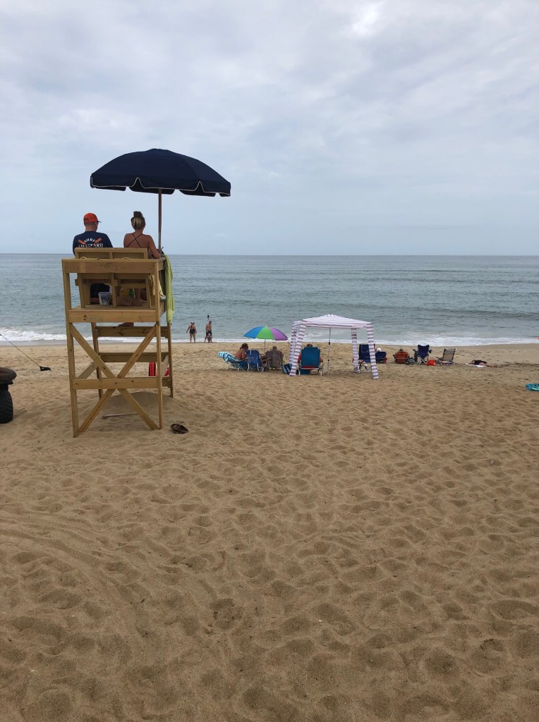
The Northern Section, which is from around Third Avenue north to the Southern Shores/Duck line, “has gained sand,” the Mayor said, and is “not as vulnerable as far as the dunes and the properties behind” them.
Cognizant of homeowners’ complaints last year about the width of the northern beach, he said, the beach “is definitely wider this year than it was last year.”
Later in the meeting, the Mayor noted: “I don’t see the north beach in trouble.”
The Central Section, from Third Avenue south to about 450 feet south of Chicahauk Trail, has “held up pretty steady,” the Mayor said. It “hasn’t gained or lost a lot.” While the dunes “are not as sturdy as they could be” in the Central Section, he continued, “it’s not in extremis.”
Mayor Bennett characterized the decision to do anything in the Central Section as a coin toss.
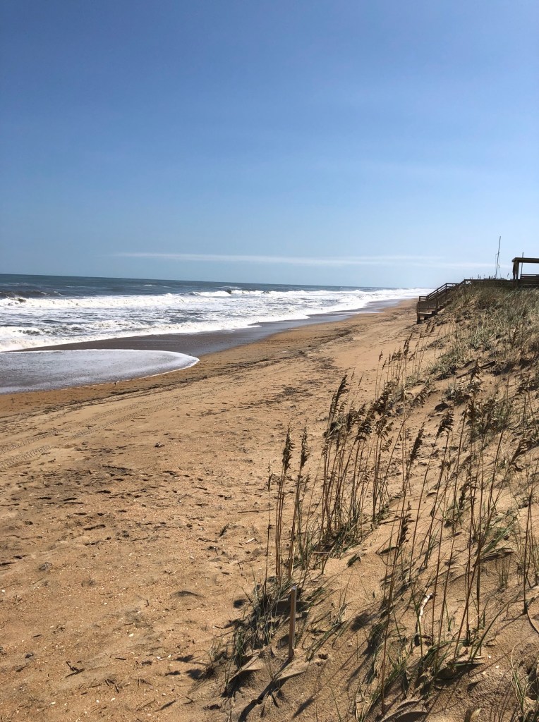
The Southern Section, from 450 feet south of Chicahauk Trail south to the Southern Shores/Kitty Hawk line, is in extremis. This section, which is the site of the 2017 beach nourishment project, has “lost a lot of sand,” the Mayor said, and “needs work.”
(See The Beacon, 1/26/21, for an exhaustive analysis of the latest shoreline change data in these three sections; and The Beacon, 1/31/21, for a report of erosion and accretion measured from September 2019 to September 2020 along the Duck shoreline.)
“The way [the project] is structured right now,” the Mayor concluded, “we’re taking on a major project that might not be required.”
Instead, he suggested, “we might be OK for two or three years,” at which time he said he had heard Nags Head might be doing a project, and Southern Shores possibly could share mobilization costs with that town.
IS THE MSD STRUCTURE APPROPRIATE FOR SOUTHERN SHORES?
As The Beacon has previously explained, the rationale and procedure for establishing MSDs is governed by N.C. statute. In order to define an MSD, a city council must find that “a proposed district is in need of [beach erosion control and flood and hurricane protection works] . . . to a demonstrably greater extent than the remainder of the city.” (NCGS sec. 160A-537(a)).
It seemed to us that Mr. Ogburn sought to respond Tuesday to some of our criticisms of his report, but we continue to read the statutory language differently from the Town Manager. (We were just kidding about taxing homeowners who live on an improved street more for the street improvements.)
The emphasis in the MSD statute is on need. If an MSD definition were not need-based, too much subjectivity and caprice would enter into elected officials’ decision-making.
Property owners, who can request exclusion from a proposed MSD at the March 16 public meeting or in writing up to five days after it, also would be more inclined to object. (See The Beacon, 1/31/21.)
In the public comment period of Tuesday’s meeting, Rod McCaughey, who is president of the Southern Shores Civic Assn. and a resident of Eleventh Avenue, questioned the use of MSDs in Southern Shores, saying, “It just seems like there are a lot of inequities.”
He further explained: “It’s not my way of thinking of Southern Shores, that someone on one side of Duck Road will be paying, someone on the other side won’t be paying . . . someone on North Dogwood Trail,” just as an example, “could get into their car and drive to Eleventh Avenue” and use the beach there, and “what did they pay?”
The SSCA president also challenged the idea that beachfront owners in Southern Shores “will be getting a golden opportunity” as a result of the beach nourishment, that because of it, their properties will go “up in value.”
Mr. McCaughey, who was speaking for himself, not the SSCA, said he was not convinced this would be true in Southern Shores, which has an ordinance restricting maximum occupancy in rental homes. Rental property owners will not be able “to rent to more people,” he suggested, simply because the beaches are wider.
In a Jan. 29 email, Mr. McCaughey informed SSCA members that the civic association, which owns the oceanfront from Hickory Trail north to the Duck town line, as well as 32 beach accesses, had granted easements to the Town for it to perform the 2022 project.
But he stopped short in his email of giving the project the organization’s blessing, saying: “I want to be perfectly clear that granting the easement does not constitute an endorsement of any particular beach replenishment plan or project.”
Earlier in the meeting, Mr. Ogburn reported that N.C. House Representative Bobby Hanig had introduced the necessary legislation (H.B. 30) to add Southern Shores to the list of towns that may “condemn property for beach nourishment.”
If the N.C. State Legislature passes, and the Governor signs, the legislation, the Town will be able to “quick take” privately owned property, such as easements, for beach nourishment without going through a formal eminent domain proceeding.
Mr. Ogburn said that 45 of the 185 easements required of oceanfront property owners for the Town’s 2022 project have been mailed. The Town is asking that these property owners voluntarily grant perpetual and irrevocable easements, without any compensation.
(For background on quick-take condemnation and the easements, see The Beacon, 7/26/20 and 10/2/20.)
The Town Council voted unanimously at its Oct. 6, 2020 meeting to give Mr. Ogburn authority to proceed with trying to procure the voluntary easements from oceanfront property owners. We have heard nothing about these easements since then.
The Council also unanimously approved, with some modifications, a draft perpetual easement prepared by Town Attorney Ben Gallop, which Mr. Gallop said Oct. 6 was a compilation of language taken from easements applied in other Dare County towns, as well as in Atlantic Beach, Emerald Isle, and Topsail Beach.
The Beacon did not support the granting of a perpetual and irrevocable easement and objected to some of the draft language. The draft easement never returned to the Town Council for approval in its final form.
A DIVIDED TOWN COUNCIL
Mr. McCaughey’s comments seemed to give Mayor Bennett a transition into his analysis of the 2022 project’s scope, but he claimed his remarks had not been “triggered by” what the SSCA president said.
The discussion that the Mayor triggered revealed a divided Town Council, with young Councilman Matt Neal clearly taking a long view of any beach nourishment in Southern Shores, calling the 2022 project part of “long-term, 30-year protection for our shoreline,” and Mayor Pro Tem Elizabeth Morey supporting his thinking.
Both premised their views on what The Beacon considers speculation as to the future damage that future storms may cause and the future effects of future sea-level rise.
While sea-level rise may be inevitable, mitigation efforts also will occur–electric cars, for example–and we are not comfortable with merely taking CPE’s computer models and projecting the future, as Mr. Neal seems to be.
Mr. Neal even mentioned managing a “shoreline retreat” during his lifetime, which would mean moving oceanfront homes to protect them from sea-level rise.
To a great extent, we believe the issue of scope is a matter of timing.
Mayor Bennett and Town Councilman Leo Holland were more inclined to look at today’s conditions, including—thank you, Mr. Holland—the fact that property owners may be coping with financial difficulties during the COVID-19 pandemic. At the very least, the health climate is poor for a major public hearing like the one scheduled March 16, even with a Zoom option, which Mr. Ogburn said there will be.
Mr. Holland brought up “selectively” nourishing the beach, starting with the Southern Section, and then figuring out later “how we can do the rest.”
The Mayor confirmed that Mr. Willson had advised him that selective nourishment could be done, and that a different amount of cubic yardage of sand could be placed at different locations along the shoreline.
The fifth Council member, Jim Conners, advocated for defining the scope of the project at the meeting, but did not express his opinion.
“Now’s the time,” he said.
That turned out not to be the case.
THE RELATIVE MERITS OF THE AVON PROJECT, COUNTY FUNDING
The Beacon also appreciated Councilman Holland’s recognition of the seriousness of the proposed Avon beach nourishment project, which will be the subject of a virtual public meeting before the Dare County Board of Commissioners on Feb. 24, at 6 p.m. See Virtual meeting on proposed Avon beach nourishment project set for Feb. 24 – OBX Today.
“That project is so important to keeping Highway 12 open,” Mr. Holland said, further observing that it has a greater “economic impact” on Dare County than the proposed Southern Shores project, which “doesn’t have a real economic impact to the county.”
With Dare County contributing monies to each project from its Beach Nourishment Fund, Southern Shores and Avon, which is an unincorporated community of the county, are essentially competing with each other.
According to Mr. Ogburn, the Dare County Board of Commissioners has not yet approved the funding that County Manager Bobby Outten said Southern Shores would receive.
Mr. Outten’s commitment of $7 million up-front for Southern Shores’ project costs and another $4 million for its debt service is not yet “firm,” the Town Manager said.
According to an overview of the Avon project prepared by Dare County, the “rate of erosion along the beaches of Avon [which is on Hatteras Island] has accelerated dramatically. The sand dunes along much of the beach have been washed away, allowing the ocean to wash over and flood Highway 12, as well as the properties on the ocean side of Highway 12. This occurs not only in named storms but also in common nor’easters and hard blows.”
Beachfront houses in Avon literally teeter above the ocean during storms—they never do in Southern Shores—and ocean overwash on Hwy. 12, which is the only access roadway, often causes major disruptions in the local economy and everyday life.
To fund a project estimated to cost $11 to $14 million, Dare County is proposing to tax properties in Avon east of Hwy. 12 at a rate of 40 cents per $100 of real estate value and all remaining parcels at a rate of 10 cents per $100.
The Beacon has problems with Southern Shores taking $11 million from Dare County for what would be a non-emergency, proactive nourishment project—except for the Southern Section—while our neighbors in Avon, who are in dire straits, pay such shocking tax-rate increases.
Commissioners in Nags Head and Duck also expressed concern at public meetings when Mr. Outten told them how much “skin in the game” Avon property owners would be contributing.
In advocating for his long-view position, Councilman Neal said that the Town Council should view beach nourishment “as a county issue,” but he made no mention of Avon’s plight.
All members of the Town Council agreed that if the Dare County commissioners were to deny Southern Shores county funding, or to reduce that funding, they would be compelled to address just the “emergency areas” on the town’s shoreline.
“The County’s participation,” Mr. Neal said, “has been the driving force.”
Ann G. Sjoerdsma, 2/5/21